Find PIN Codes, Post Offices & Places Across India
Explore Indian PIN codes, post offices, places and useful public-location information in one connected directory.
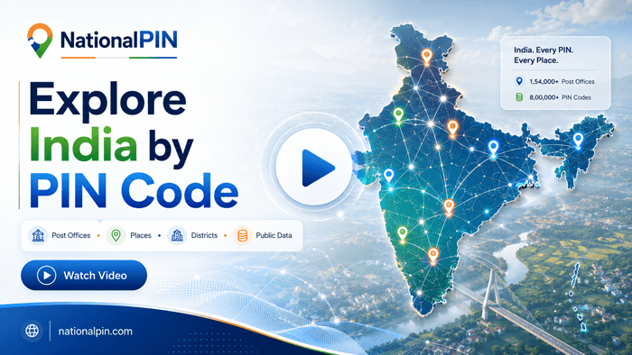
NationalPIN connects Indian PIN codes, post offices, districts, States / Union Territories and cities, towns, villages and localities in one directory. Current available data includes 19,486 PIN codes, 164,900 post-office records and 591 published geographic places.
Quick Browse
Explore Connected Location Information
Move from a PIN code to post offices, places, districts and other useful location pages without starting a new search each time.
Available Public Data
Browse the public-location categories currently available on NationalPIN.
Explore India
Start with ten of the largest postal directories currently available in NationalPIN. Each State card links directly to its State / Union Territory directory, where districts, PIN codes, post offices and places connect into deeper location pages.
PIN Codes in Major Indian Cities & Metro Areas
Explore postal information for major Indian metros and high-demand cities. When a matching district directory is available, the card opens it directly; otherwise it opens a focused city search so you can choose the right locality or post office.
Browse District Directories
Jump into important urban district directories and continue from district-level postal coverage to individual PIN-code, post-office and place pages.
Explore Popular Places
A selection of frequently searched Indian localities, commercial hubs and metro neighbourhoods. Each card opens the best available geographic-place page, with search used when an exact location page is not yet available.
Explore PIN Code Pages
Quick links to widely searched city and locality PIN codes across major Indian metros. Each card is shown only when the corresponding PIN-code page is available on NationalPIN.
Helpful Information
About NationalPIN India Location Directory
NationalPIN is an independent Indian location-information platform that makes it easier to explore postal and geographic information together. Start with the India PIN Code Directory when you know a six-digit code, use the Post Office Directory when you know an office or area name, or browse States / Union Territories and Districts for geographic discovery.
Use the homepage to move quickly between major States, metro areas, district directories, popular places and frequently searched PIN-code pages across NationalPIN.